A Local Map to Climate Challenges
Panama Climate Risks Atlas

A Local Map to Climate Challenges
Panama Climate Risks Atlas
Summary
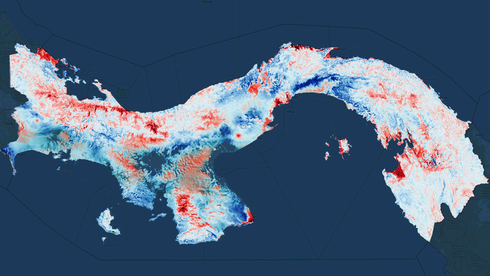
One of the first and more crucial steps before designing the best possible mitigation and adaptation to climate change policies is accessing detailed climate data projections.
The Panama Climate Risk Atlas allows for the visualisation of threats, exposition, vulnerabilities and risk in the Central American country in the face of phenomena such as droughts, wildfires or rising sea-levels through dozens of key indicators.
This project was developed jointly with the Instituto de Hidráulica Ambiental de Cantabria, who led it, and was funded by the Inter America Development Bank.
Should you want more information, you may browse the Atlas.
Main Features
- Easy-to-use user interface
- Dozens of indices and variables
- High-resolution: from provincial to neighbourhood level
- Data visualisation and download