Over the past few weeks, our team has been generating data visualisation files such as the one at the top of this post, featuring key information for the energy transition and for the photovoltaic sector in particular — a combination of satellite and reanalysis data showing promising breakthroughs in terms of representation of cloud coverage over a particular location.
The whole image, as shown below, features –left to right, top to bottom– data generated by our model regarding surface temperature (2m above the earth, with ERA5 reanalysis data), cloud coverage sourced from satellite data (SEVIRI), cloud coverage sourced from ERA5 and thermal radiation towards the surface (ERA5 data too).
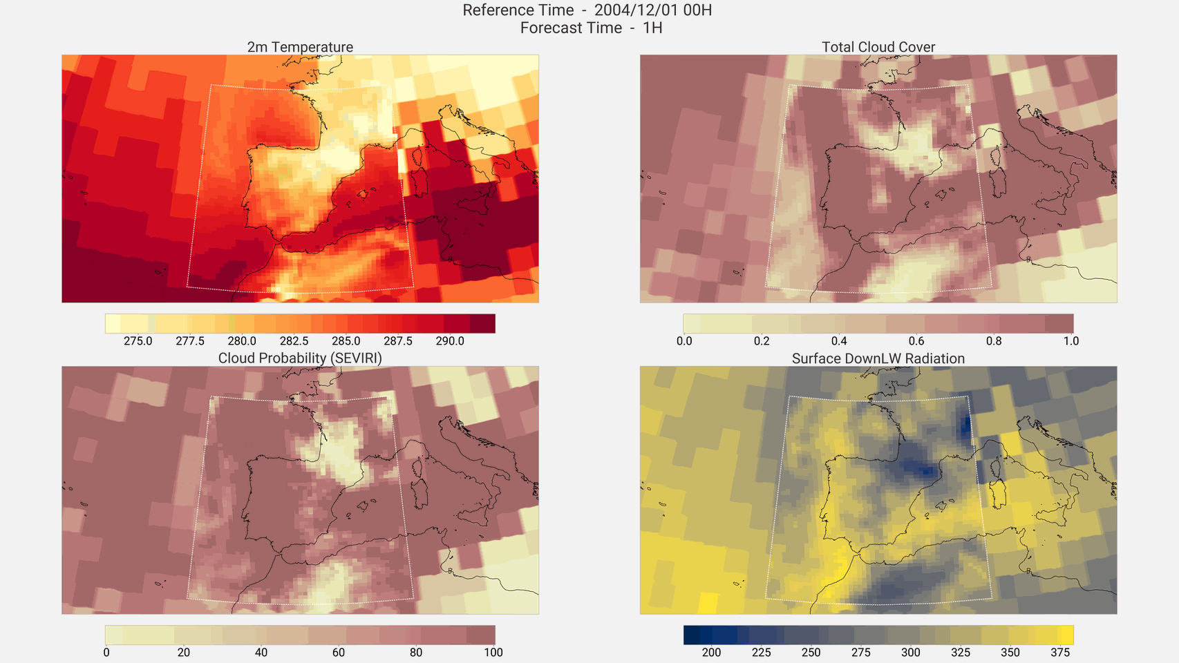
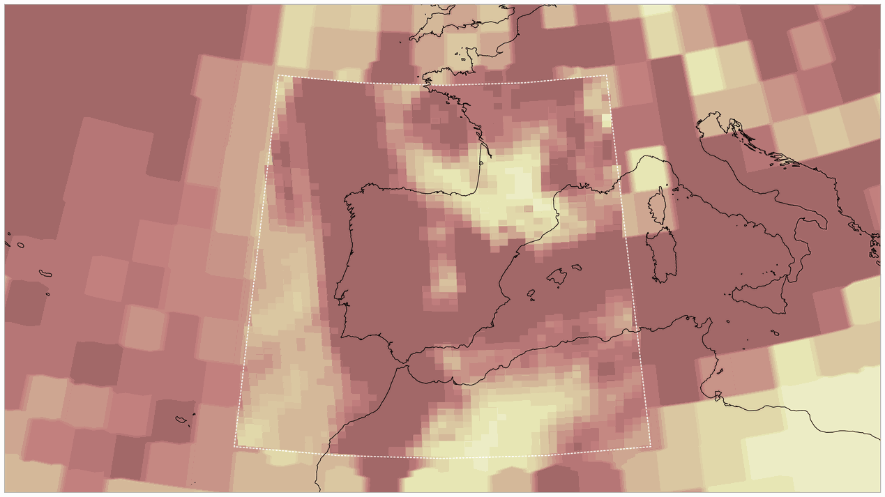
However, the image provides far more information than the abovementioned. For starters, it presents two different resolutions contemporarily. Outside the dotted line, a spatial resolution of around 200 km in the global grid can be seen. But a 25 km resolution can be seen within the dotted line, centered in the Iberian Peninsula and surrounding areas. By focusing on resolving only a region of interest at high resolution we manage to save a tremendous amount of computational resources (and thus, time and energy) when compared to models showing the whole surface at high resolution.
Furthermore, we can proudly confirm the consistency between the different fields, despite facing the self-imposed challenge of training the model using one year of data only.
These are just the first few steps of a new product we’re developing, as a part of the AI4Clouds project, to integrate satellite observations in the European initiative Destination Earth (DestinE) Extremes Digital Twin (Extremes DT). We at Predictia are taking care of cloud modelling development and evaluation, whilst our regular partners at the Institute of Physics of Cantabria are deploying the software in the DestinE infrastructure.
The kind of information generated could contribute to, for example, a more trustworthy representation of cloud coverage, thus promoting more efficient energy management.
Despite being happy about the preliminary results, we know there’s still a lot to be perfected such as smoothing the transition of meteorological patterns on a large scale between those in the global and the Iberian Peninsula regions. But it’s already quite promising!
This work is part of a contract we’re working on and it’s a part of DestinE – and it’s funded by the European Commission and EUMETSAT.
In case you want to know more about the SEVIRI satellite data we’re using, and about Meteosat Second Generation satellites in which these instruments are installed, you can read the information offered by EUMETSAT in their website or watch the following video:
Besides, you can also read here more information on the Extremes DT de DestinE. If you prefer to watch the video below instead, you’ll find some examples of its potential applications:
Should you want more information about this project or to count on Predictia as a partner for a similar enterprise, do not hesitate to reach out to us via email: predictia@predictia.es.

This post refers to a project funded by the European Union. Views and opinions expressed are however those of the author(s) only and do not necessarily reflect those of the European Union or the European Commission. Neither the European Union nor the European Commission can be held responsible for them.