RSClass
RSClass
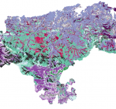
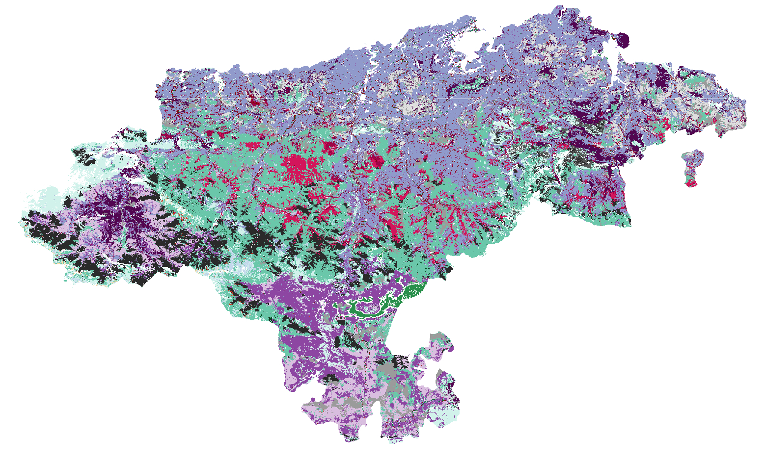
Remote sensing and machine learning algorithms for land use maps generation
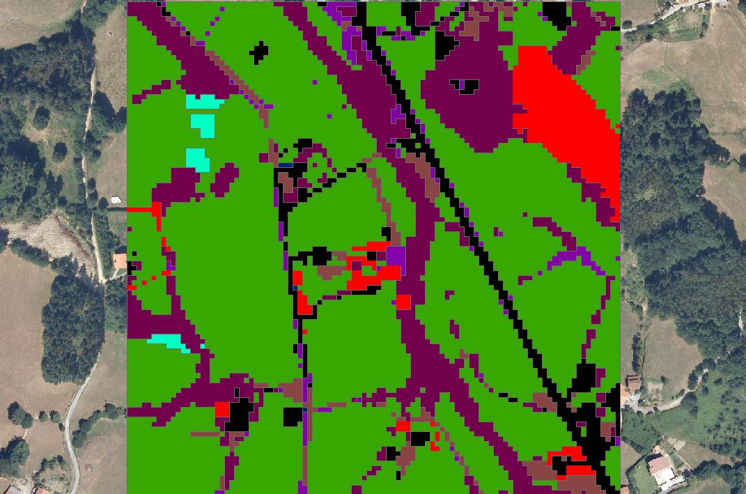
From agricultural decision- and policy-making, to forest management and environmental adaptation studies, remote sensing has drastically improved the tools for land management. Satellite imagery provide vital information for many different sectors: forest management, pasturage, water managemente, agriculture... At Predictia, we have developed a Machine Learning approach to generate land use maps, using satellite imagery coming from trusted public sources.
- Ultra-high resolution: We incorporate data coming from sources such as Copernicus Sentinel satellites, that provide resolutions up to 10m.
- Spatial and temporal information: Since vegetation, forests and land use vary over seasons, our Machine Learning Algorithm takes into account temporal variations, for a more accurate identification.
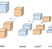
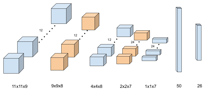
- State-of-the-art machinel learning algorithms: We apply a wide range of supervised machine learning techniques, including deep learning based such us complex neural networks.
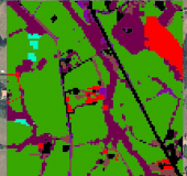
- Transparent process: For each map pixel we provide the most likely categories of classification predicted by our model, along with an accuracy score, for maximum transparency.
- Customisable: Our solution adapts to multiple sectors, providing outputs such as crop types, EUNIS categories, and much more.
Key features
Machine learning
Deep learning
Probabilistic models
Multi-model -ensemble
Multi-category
Technical specifications
RSClass has the following features:
- Pixel-wise land cover classification (over customized categories) using deep learning-based classification supervised algorithms
- Multi-category probabilistic classification
- Detaileld validation reports
- Cloud-based solution able to scale for large areas
- Spatio-temporal modeling (3-dimensional convolutional networks)
Added value services
To complement the land use maps, we offer the following services:
- Integration: to facilitate and maximise the impact, we integrate the use map into existing websites, using our Data Viewer product or onto other GIS visualisation tools.
- Regular updating: while field campaigns are labour- and resource-intensive, making it difficult to update of land use maps, remote sensing has opened the door to regular updates, while minimising the costs. We offer an update service, to refresh the data in case it is needed.